


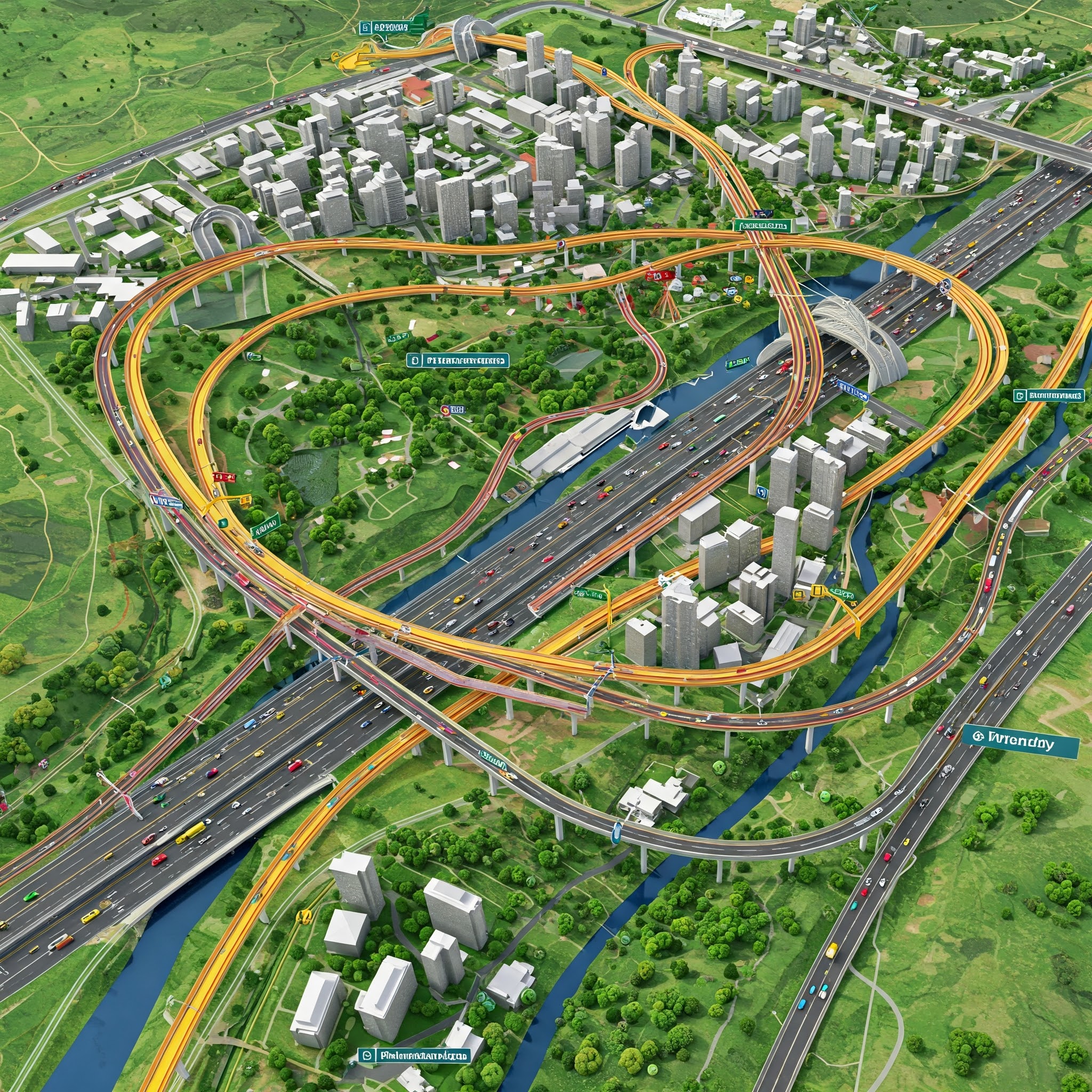
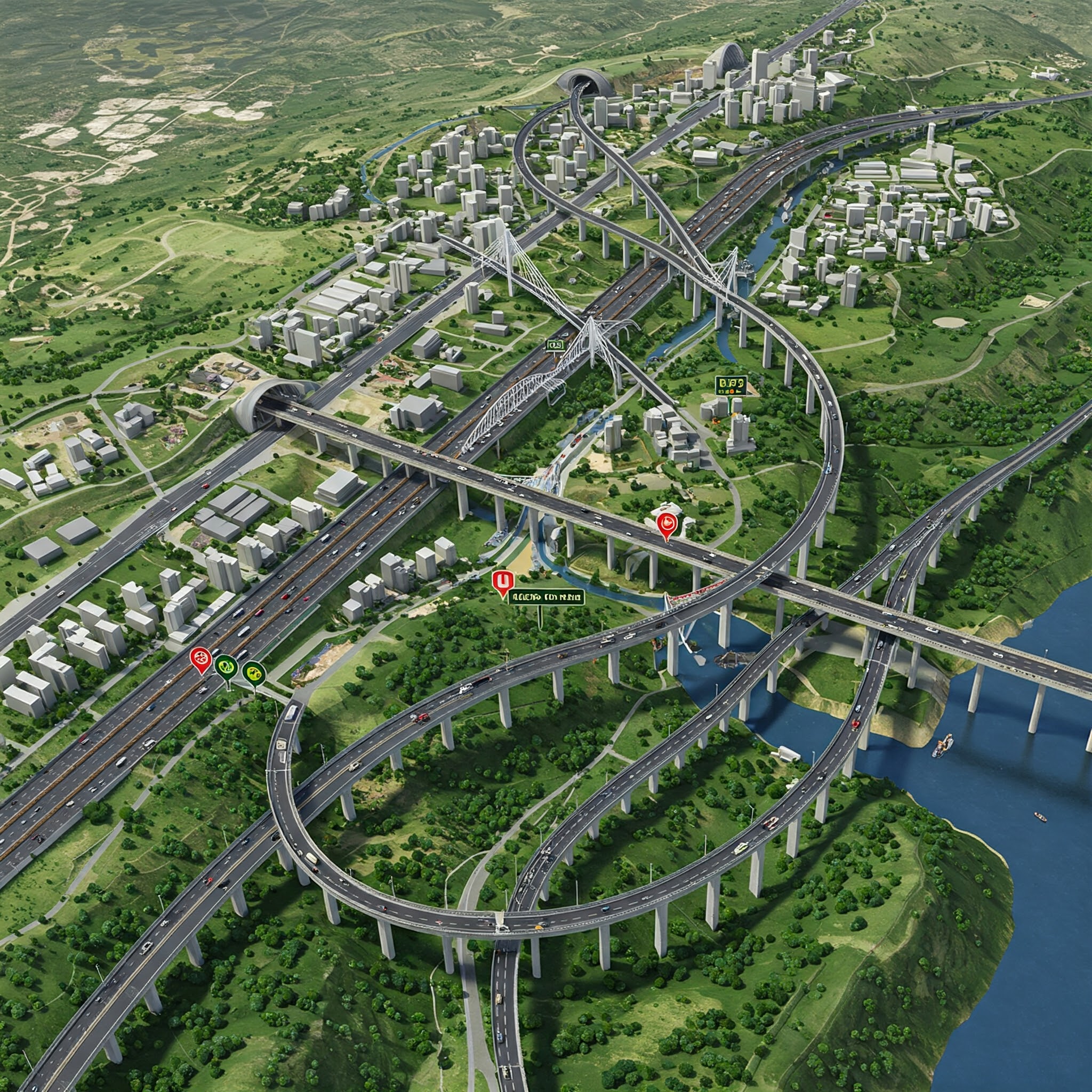
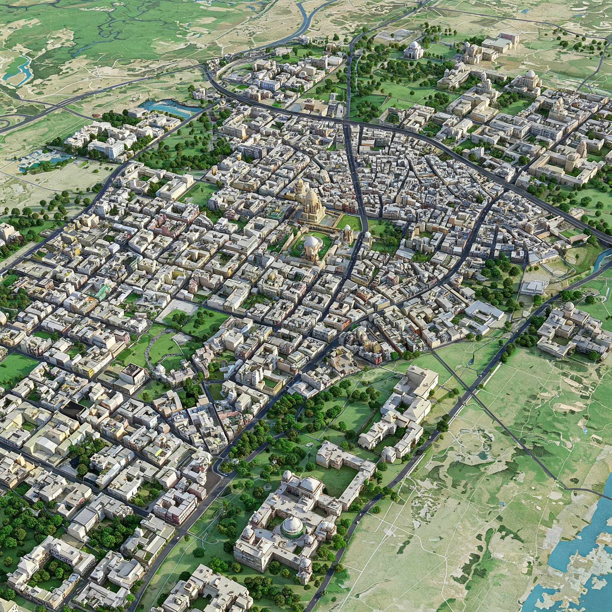
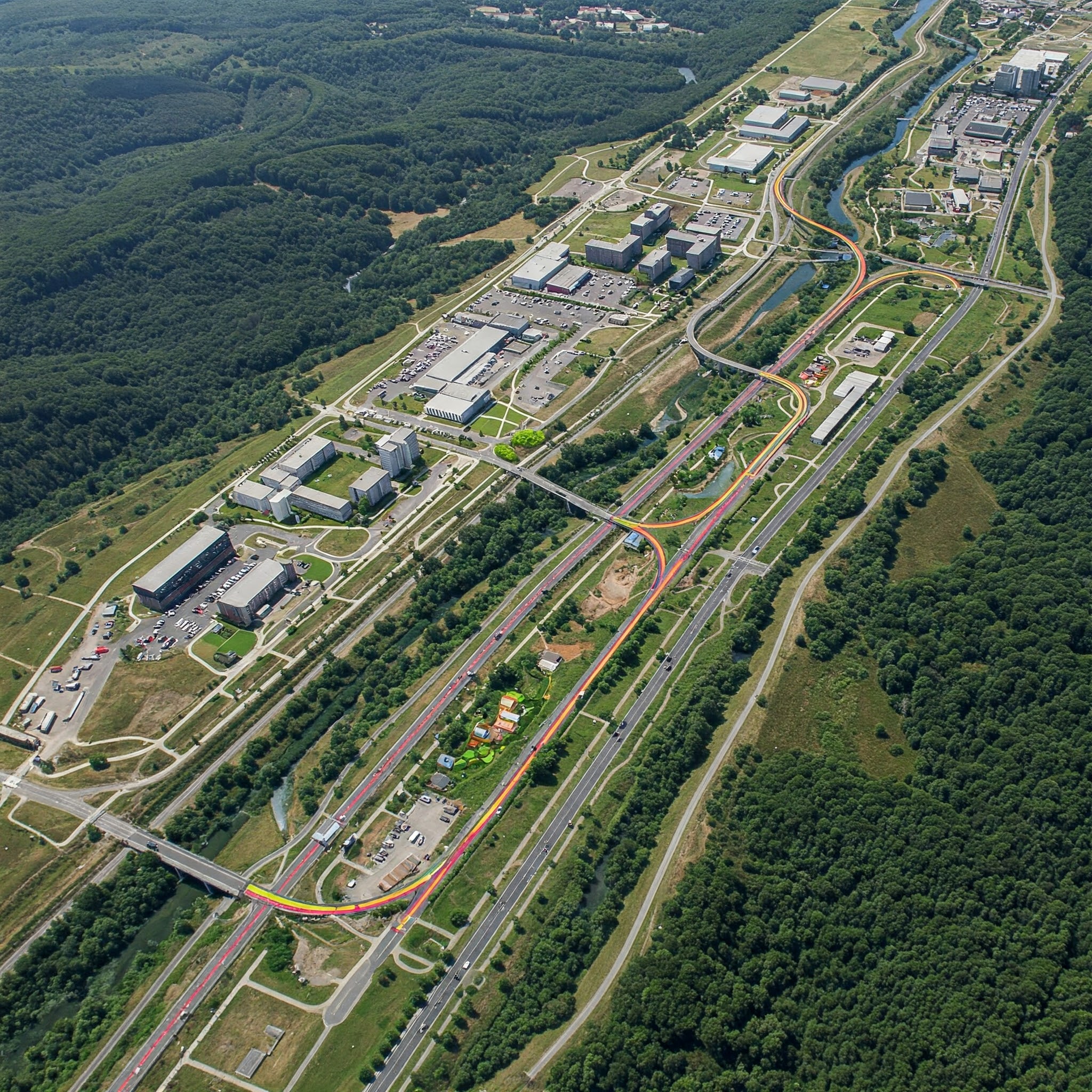
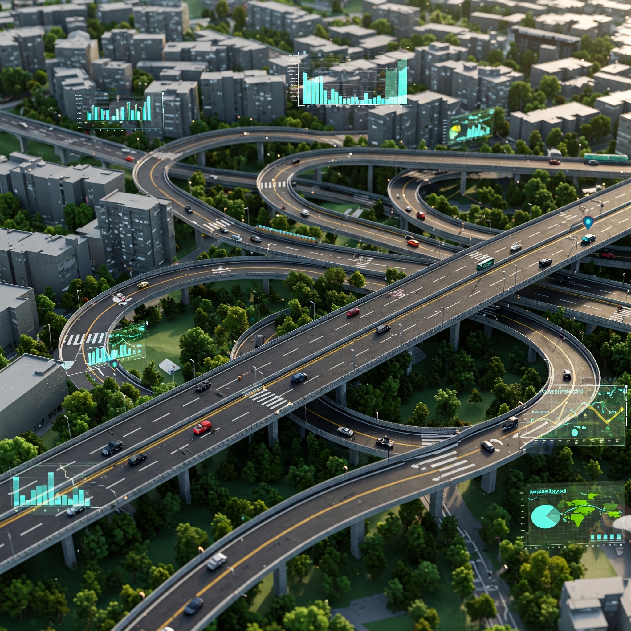

With our state-of-the-art drones, we create detailed 3D models of infrastructure projects to help architects and engineers visualize their designs. From highways to large-scale urban developments, we provide accurate and precise mapping data that accelerates the planning and construction process.

