


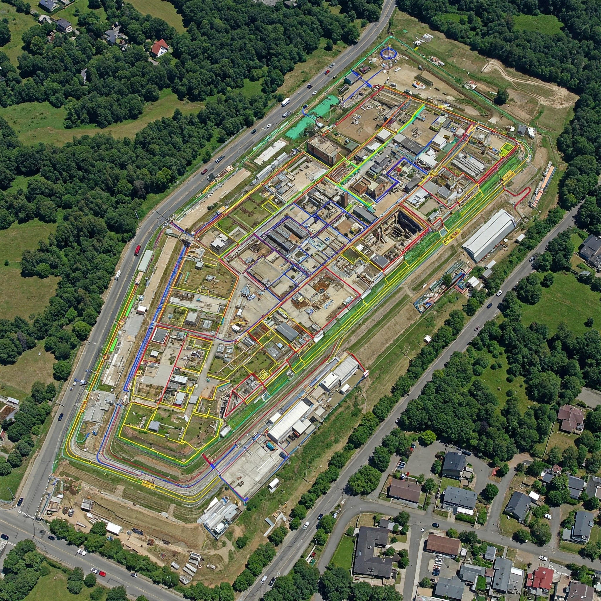
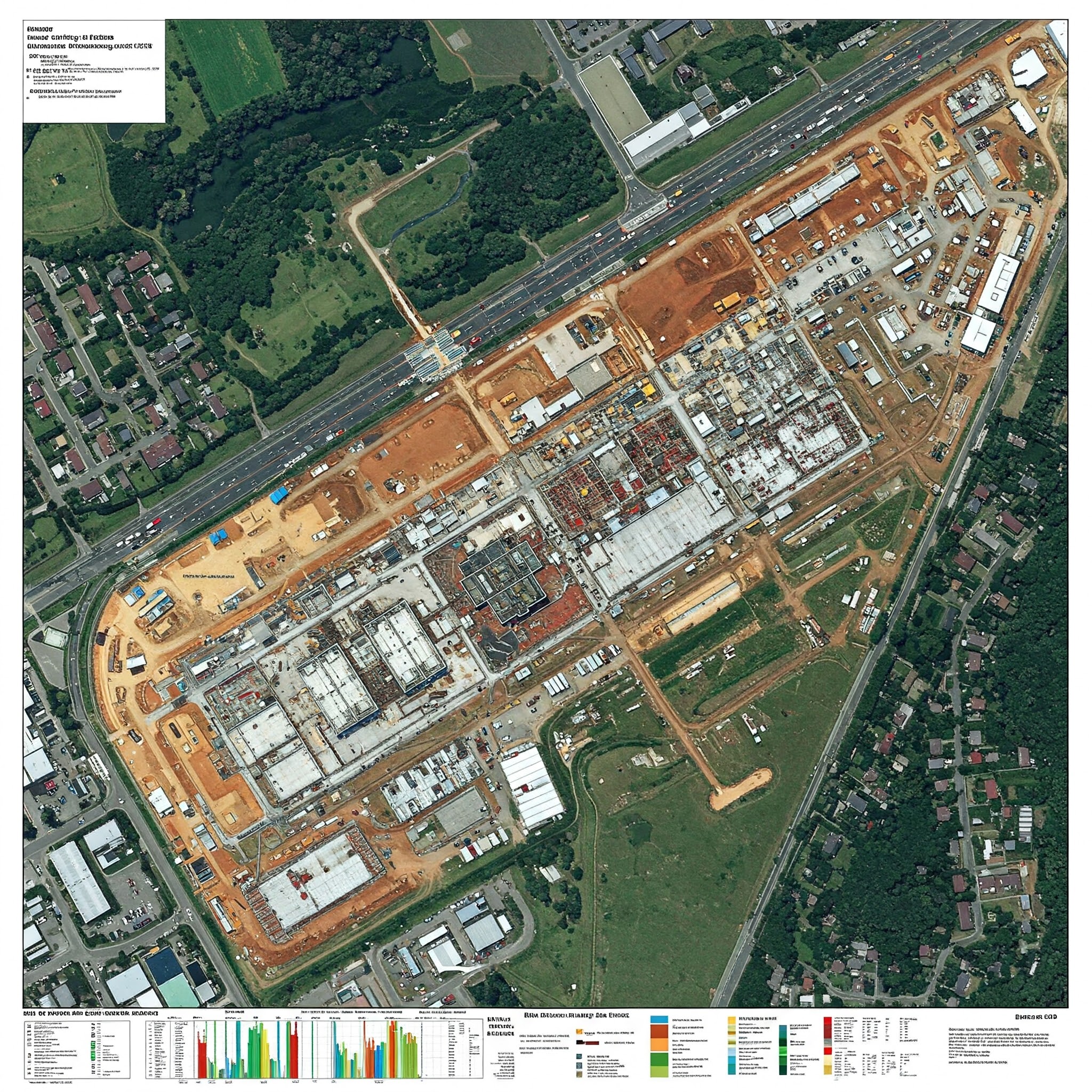
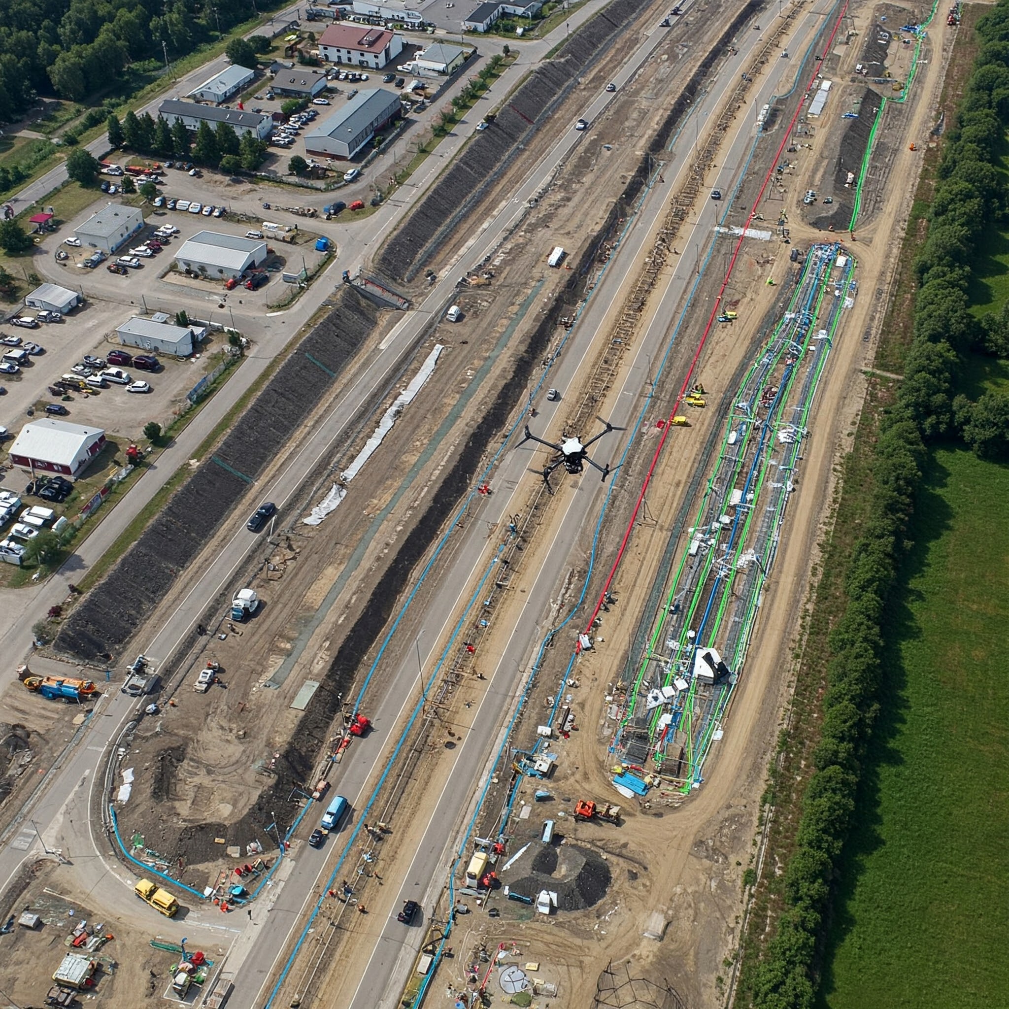
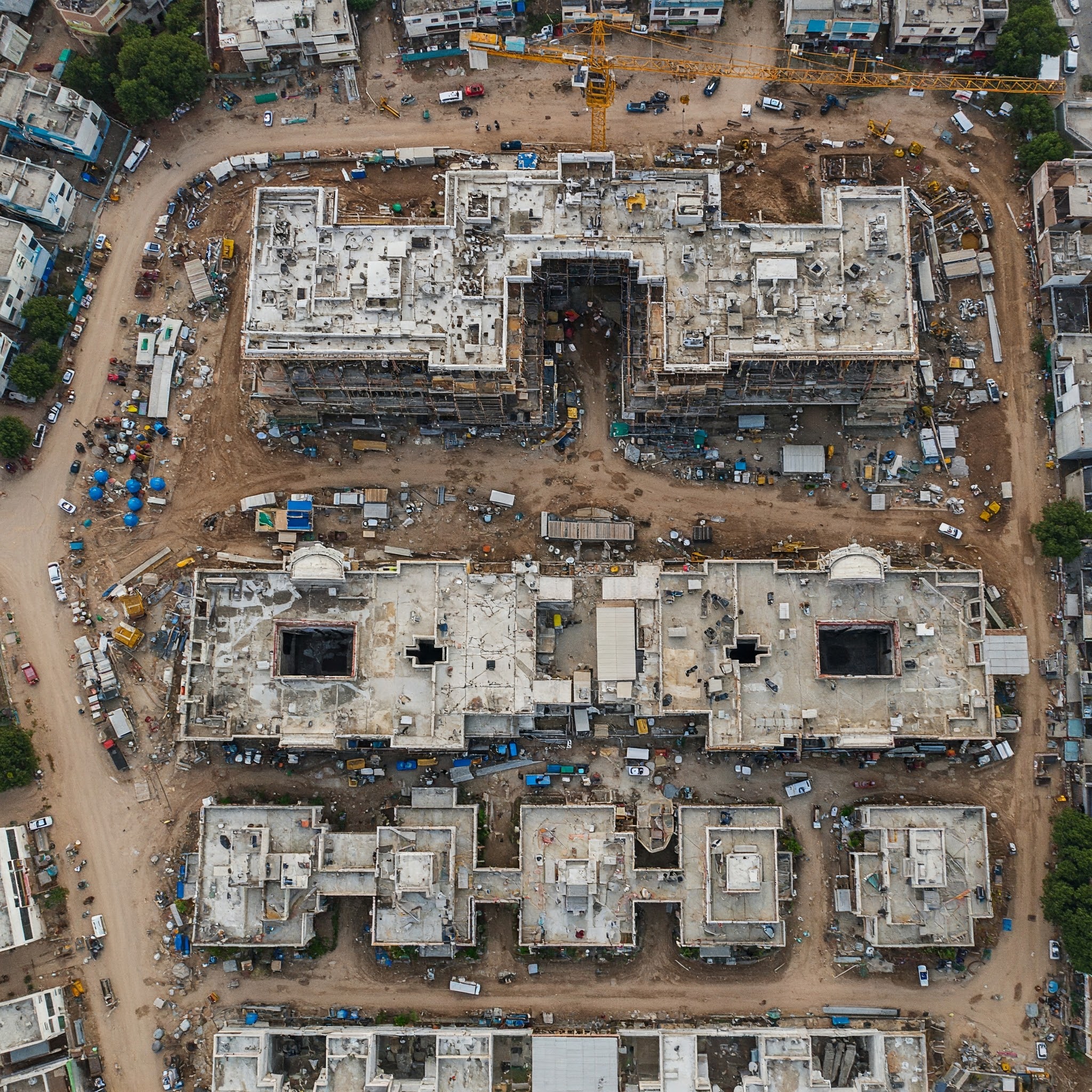

Our drone service specializes in delivering advanced aerial imaging and data solutions for the construction and real estate industry. We provide accurate mapping, progress tracking, site surveys, and promotional videos that enhance operational efficiency and marketing efforts.
With cutting-edge drone technology, we help construction companies and developers make informed decisions quickly, saving both time and money. Whether it’s a small residential site or a large infrastructure project, our certified drone pilots ensure safety and precision in every flight.

 By saramiller

 By jamesturner
 By jamesturner
 By jamesturner