

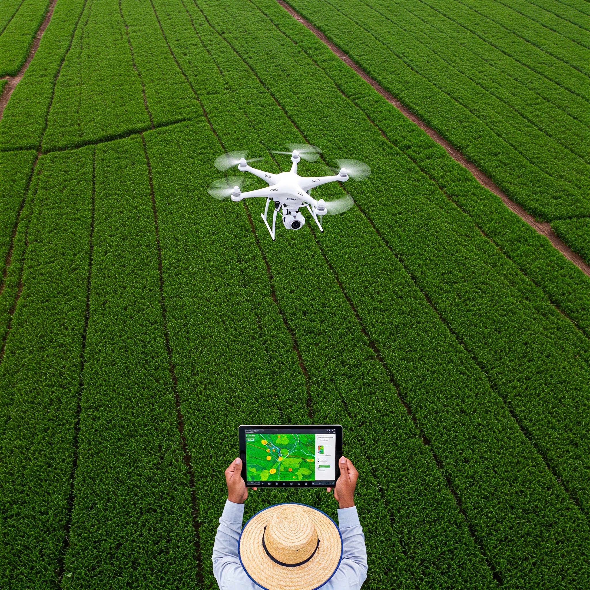
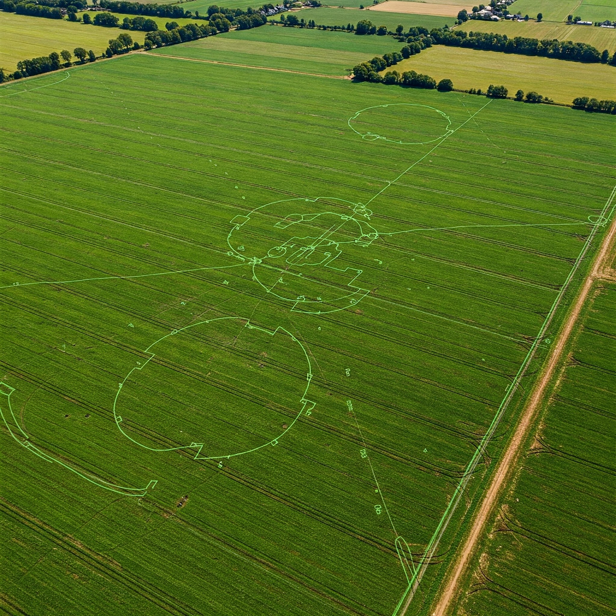
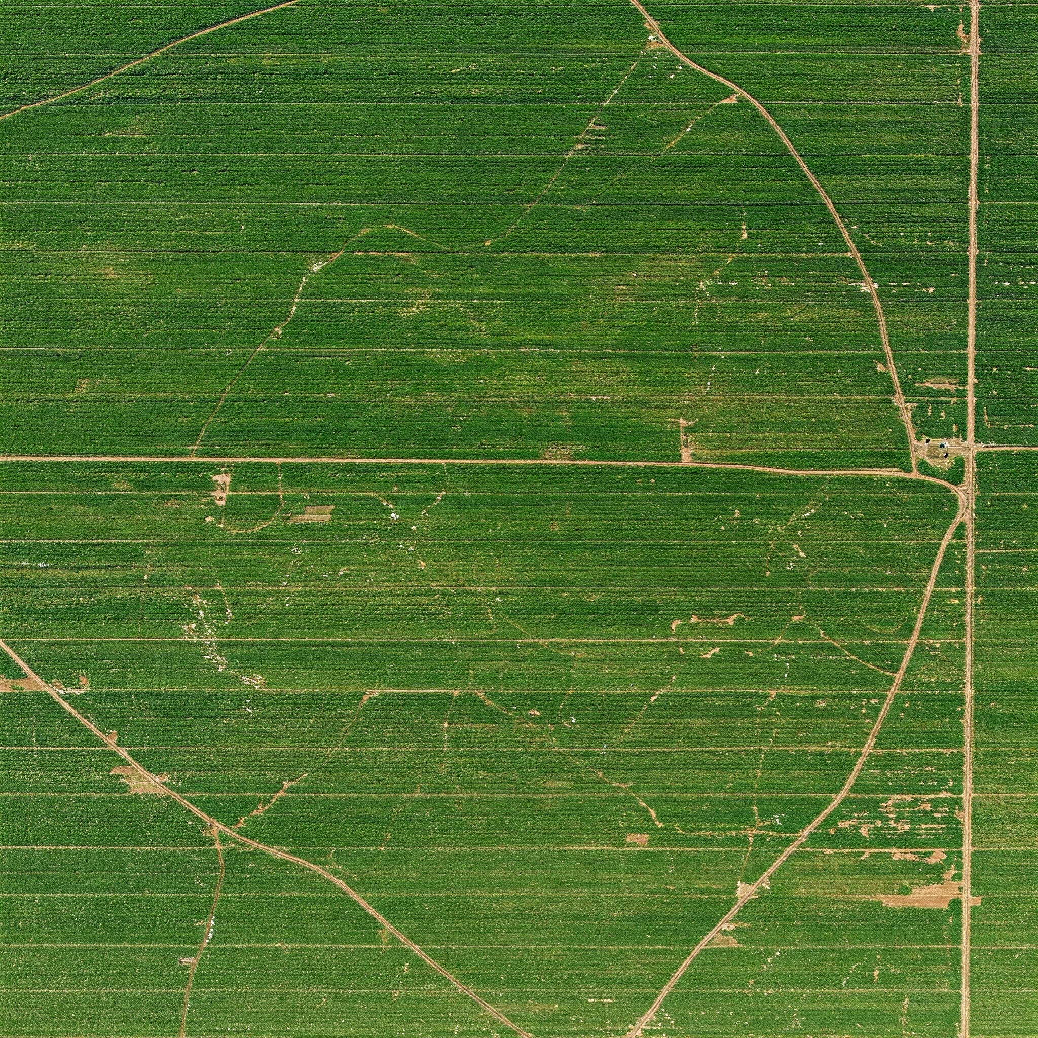

Our precision agriculture mapping service uses drones to capture detailed data on soil conditions, crop distribution, and irrigation needs, enabling farmers to make smarter, more efficient decisions to maximize their output and reduce costs.


 By tomhughes
