Not sure if we are the right fit? Book a one-day trial to evaluate our pilot's skills, equipment quality, and professionalism. You pay only for a single day — no long-term commitment.
One-time trial, no strings attached
Day rate
₹ 3,040 / day
Loved the trial? Move to a long-term partnership.
Dedicated pilot for weekly deliverables
Priority scheduling, best rates
Experienced GIS Analyst with over two years of expertise in Remote Sensing and Geographic Information Systems (RS and GIS). Proficient in image interpretation, classification, and spatial analysis, with a strong background in GIS software applications. Demonstrated ability to translate complex geospatial data into clear visualizations and reports, and passionate about leveraging geo-spatial technologies for sustainable development and environmental conservation.
ATCertificate Programme in RPAS (Drone Technology) · Asia Softlab Pvt. Ltd.
05/2026 - 08/2026
Project Associate · CSIR- National Institute of Oceanography
07/2025 - 03/2026
GIS Data Engineer · Unis Technosoft Private Limited
03/2025 - 07/2025
Administration, Office Assistant · St. Pauls School Rajkot
06/2023 - 12/2024
M.Sc. — Kerala University of Fisheries and Ocean Studies (KUFOS) (2020)
B.Sc. — Mahatma Gandhi University – S.B College (2017)
Class 12th — C.C.M.H.S.S, Karikkattoor, Kottayam, Kerala (2014)
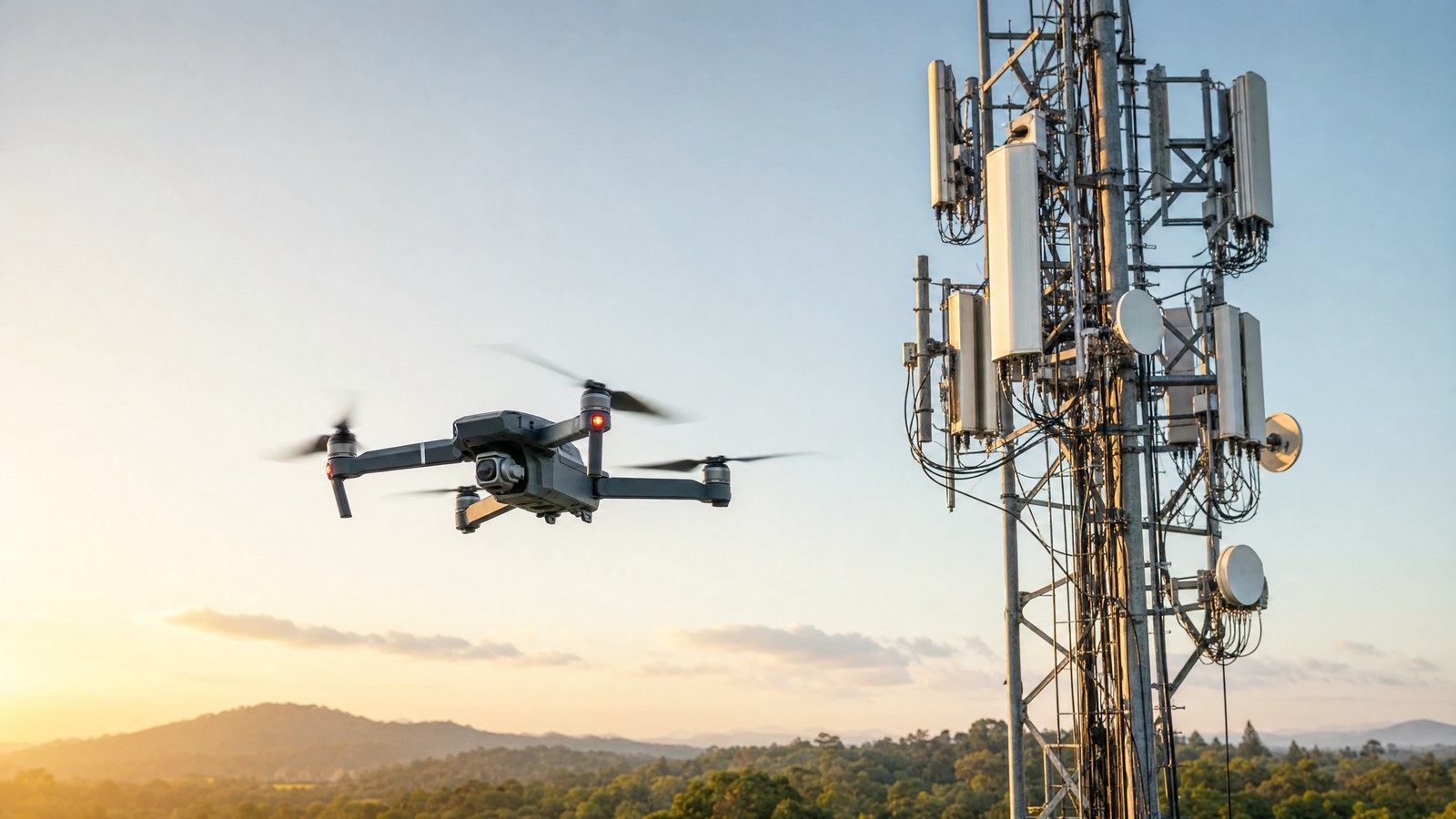
Drones inspect bridges, towers, chimneys, tanks, roofs, facades, high-rise buildings, factories, warehouses and other structures. They capture close-up photos, video and thermal images of areas that are hard or risky to reach by hand.
A drone can reach height in minutes without scaffolding, cherry pickers or people working at height. That usually means less downtime, a safer site and a complete visual record that engineers can review afterwards.
Check that the pilot holds the licence required by your national aviation authority, carries suitable insurance and has inspected similar structures before. Ask about camera zoom, thermal sensors and the format of the final report.
Common deliverables are high-resolution photos and video, annotated defect images, thermal imagery, 3D models and a written report that locates cracks, corrosion, leaks or other damage for your engineers.
Yes. Drones are widely used for high-rise and facade inspections because they can fly close to each elevation and document cladding, glazing, sealants and balconies without blocking the street or putting people on ropes.

Cell Tower Inspection by Part 107 Certified sUAS Operator
Industrial drone inspection and survey
Free Agreement
Powered by DocuSeal
Every booking includes a legally-binding signed agreement — protecting both you and the pilot.
Details on this page are declared by the pilot. HireDronePilot does not check identity, licences or insurance, so ask the pilot to show you: