Infrastructure & Corridor Mapping
Linear infrastructure, road, rail and pipeline corridors.
16 professional services available
Hiring for infrastructure & corridor mapping
Compare 16 live infrastructure & corridor mapping listings from verified drone pilots across 6 countries. Day rates, weekly and monthly retainers are published up front, so you can budget before you make contact.
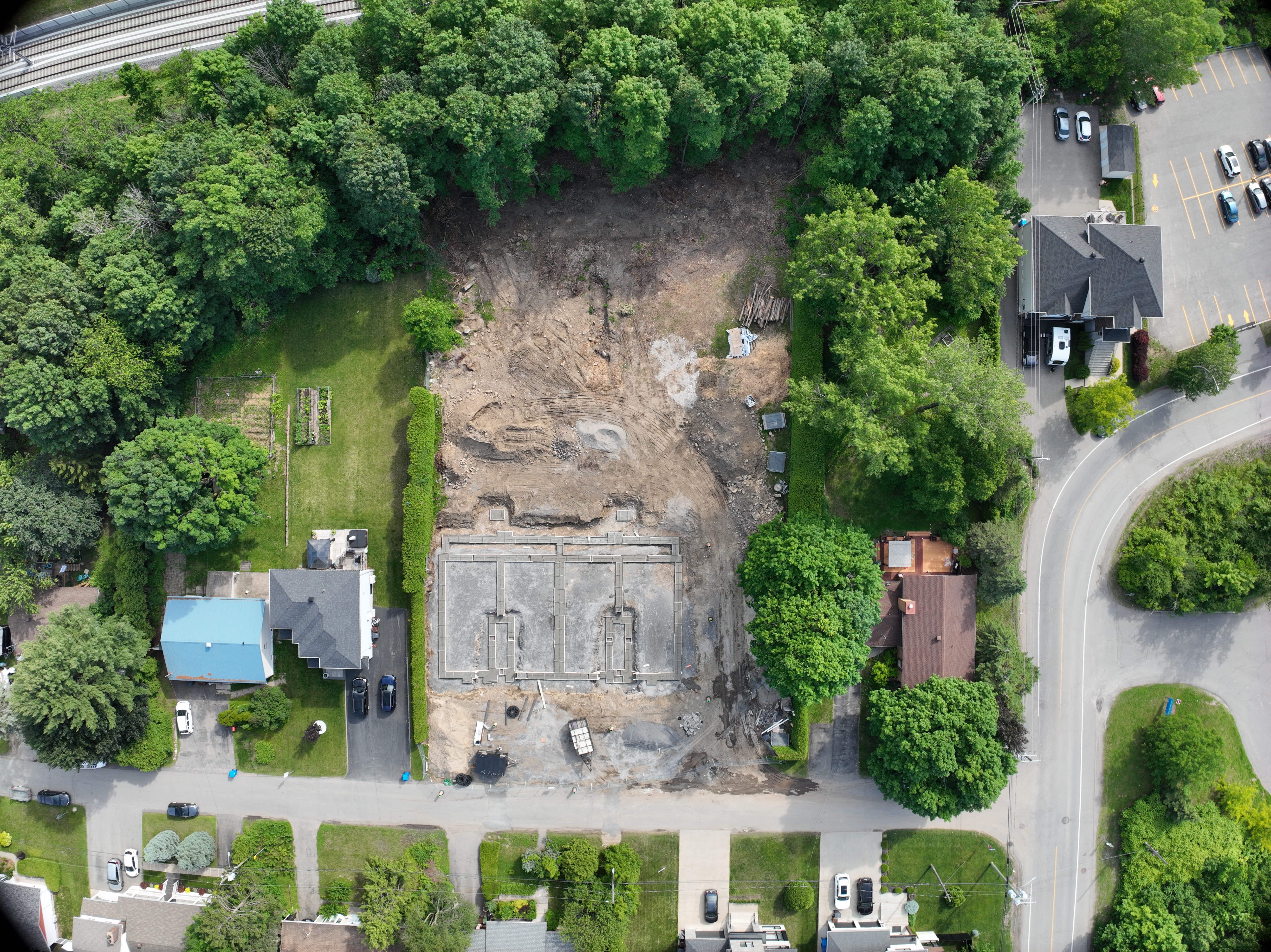
Infrastructure and corridor mapping by drone
 Canada
Drone Inspect
Starting C$ 150 / hour
Drone infrastructure and corridor mapping
 India
Abhishek Karwasra
Starting ₹ 1,500 / day
Drone survey for highway and corridor projects
IndiaRamakiran Pedapudi
Starting ₹ 1,500 / day
Drone infrastructure and corridor mapping
 Saudi Arabia
VIJAY BHARATH P
Starting ﷼ 1,512 / day

Drone infrastructure and corridor mapping
IndiaSatyanam Yadav
Starting ₹ 3,000 / project
Drone mapping for highway and corridor projects
 Zambia
Glory Nthara
Starting K 3,900 / day
Drone mapping for highway and corridor projects
ZambiaEric Gonga
Starting K 4,420 / day

Drone survey for highway and corridor projects
IndiaHardik Soni
Starting ₹ 5,000 / project
Drone survey for highway and corridor projects
IndiaPramod Kumar
Starting ₹ 5,040 / day
Infrastructure and corridor mapping by drone
ZambiaBotain Kalunga
Starting K 6,500 / day
Drone mapping for highway and corridor projects
ZambiaTwataizya Minango
Starting K 7,540 / day
Drone survey for highway and corridor projects
 Kenya
Utana Kinuthia
Starting KSh 15,000 / day
Drone survey for highway and corridor projects
KenyaBonface Munialo
Starting KSh 15,000 / day
Drone mapping for highway and corridor projects
IndiaAvishek Sarkar
Starting ₹ 19,520 / day
Drone infrastructure and corridor mapping
KenyaBonface Munialo
Starting KSh 25,000 / day
Drone mapping for highway and corridor projects
 Malawi
Benson Mtonga
Starting MK 349,600 / day