 CanadaInfrastructure & Corridor Mapping
Infrastructure & Corridor Mapping in Canada
Linear infrastructure, road, rail and pipeline corridors.
1
Live listings
0
Verified listings
C$150
Day rate from
Other drone services in Canada
Jump straight to another category without going back to the country page.
Infrastructure & Corridor Mapping services available in Canada now
1 live listing in Canada. Each card shows the pilot's base, coverage, rating and published day rate.
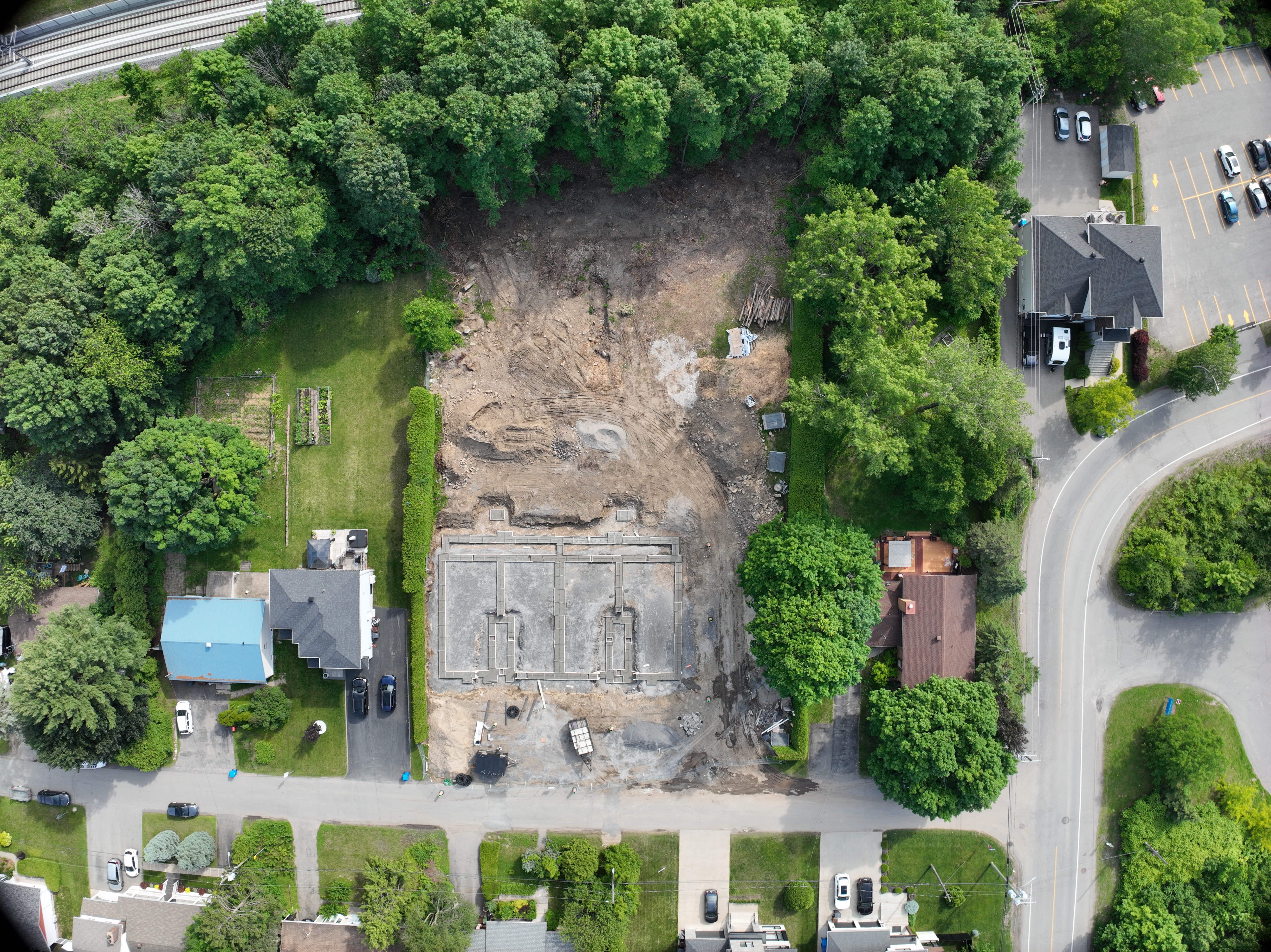
Hiring for infrastructure & corridor mapping in Canada
1 live listing for infrastructure & corridor mapping in Canada, covering Deux-Montagnes. Post your requirement with the location, date and deliverable — pilots who cover that area reply with a quote, and you compare ratings, portfolios and published rates before booking.
Drone operations here are open — recreational & commercial allowed: registration is required, and commercial work calls for basic or advanced pilot certificate (transport canada). The pilot you book holds that authorisation — the country page links the official source.
Browse every drone service in Canada or compare infrastructure & corridor mapping pilots worldwide.
Infrastructure & Corridor Mapping in Canada — common questions
How much does infrastructure & corridor mapping cost in Canada?
Day rates for infrastructure & corridor mapping in Canada start at C$150. Every listing publishes its day, weekly and monthly rate, and you only release payment once you approve the work.
Do drone pilots offering infrastructure & corridor mapping in Canada need a licence?
Transport Canada requires all drones over 250 g to be registered and pilots to hold a Basic or Advanced pilot certificate depending on the flight zone and drone weight. Commercial work: Basic or Advanced Pilot Certificate (Transport Canada). The drone also has to be registered. The pilot you book holds the operating authorisation — check the current requirement with Transport Canada before the flight.
Where in Canada can I book infrastructure & corridor mapping?
Live listings cover Deux-Montagnes. Each card names the pilot's base and the additional areas they travel to, so you can check coverage before you make contact.
How do I hire a drone pilot for infrastructure & corridor mapping in Canada?
Post your requirement free with the location, date and deliverable. Pilots who cover that area respond with a quote, you compare ratings, portfolios and published rates, then book — payment is released only when you approve the finished work.
Need infrastructure & corridor mapping in Canada?
Post your requirement free — describe the location, date and deliverable, then compare quotes from pilots who cover Canada.