Loading results…
Construction progress monitoring by drone in Indonesia by kosasih

Rates published upfront
Free signed agreement
Trial day before you commit
Within 24 hours
Service overview
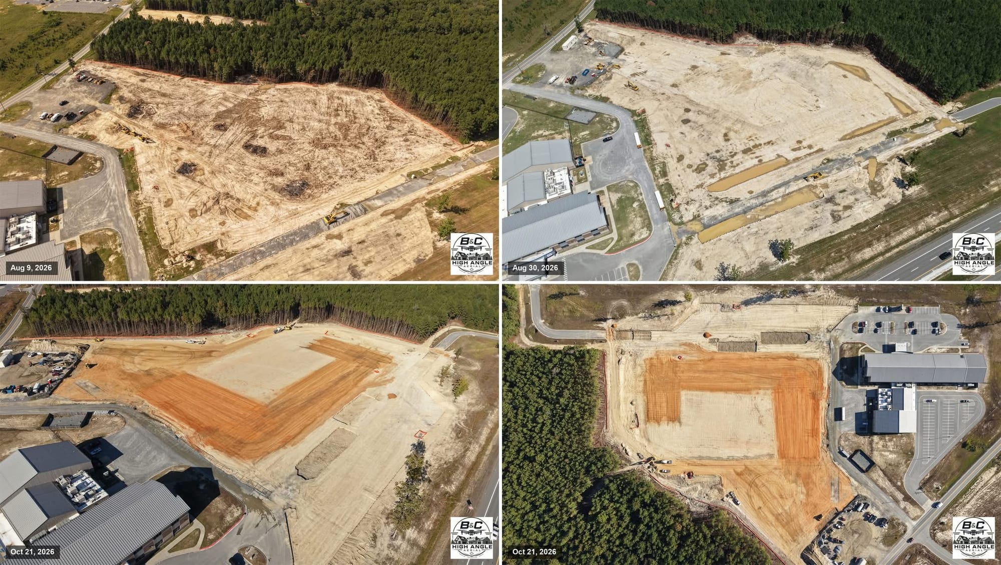
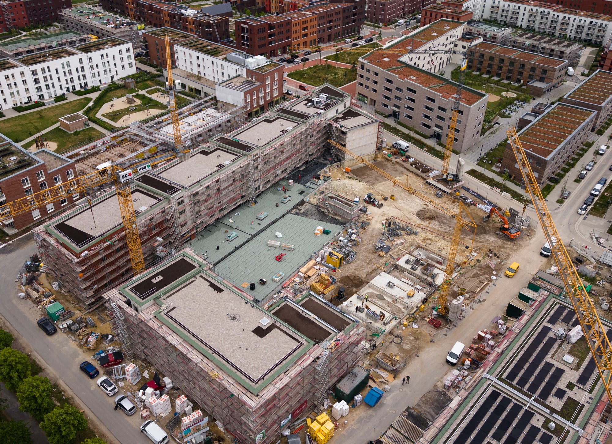
You receive processed aerial data from your construction site: orthomosaic maps, progress images and volume calculations you can compare against your plans. I am a geodetic engineer and certified drone pilot based in Bogor, and I fly the site, process the photos and write up the results so your team can see what has actually changed on the ground.
I have spent 19 years flying, and my work covers topographic surveying, photogrammetry, drone mapping, GIS and construction supervision. I process the imagery in Agisoft Metashape and Global Mapper, work with AutoCAD Land Development, and can prepare volume calculations and reports to suit your project.
This service is booked per day. If you want to start, send me your site location, the area you need covered and what you want delivered in the HireDronePilot chat, or book the day here.
Try before you commit
Not sure if we are the right fit? Book a one-day trial to evaluate our pilot's skills, equipment quality, and professionalism. You pay only for a single day — no long-term commitment.
Rp 7,420,000 / day
One-time trial, no strings attached
Full day of professional service
Day rate
Rp 7,420,000 / day