Loading results…
Compare 21 live Construction Progress Monitoring listings from 21 professional drone pilots in Canada, Greece, United Kingdom, United States, Germany, India, Saudi Arabia, Zambia, Kenya, Senegal, Indonesia. Every listing publishes its rate up front, so you can budget before you make contact, and the agreed price is recorded in writing before work starts.
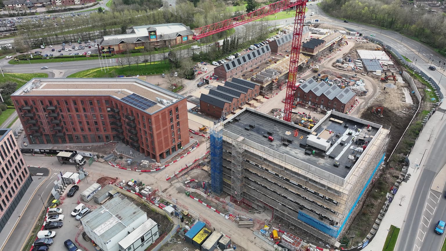
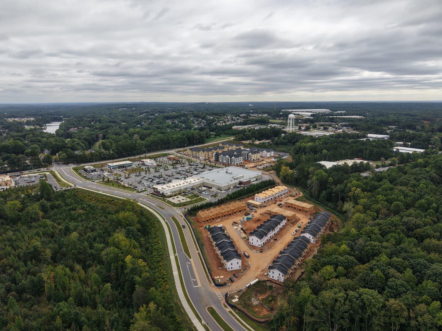
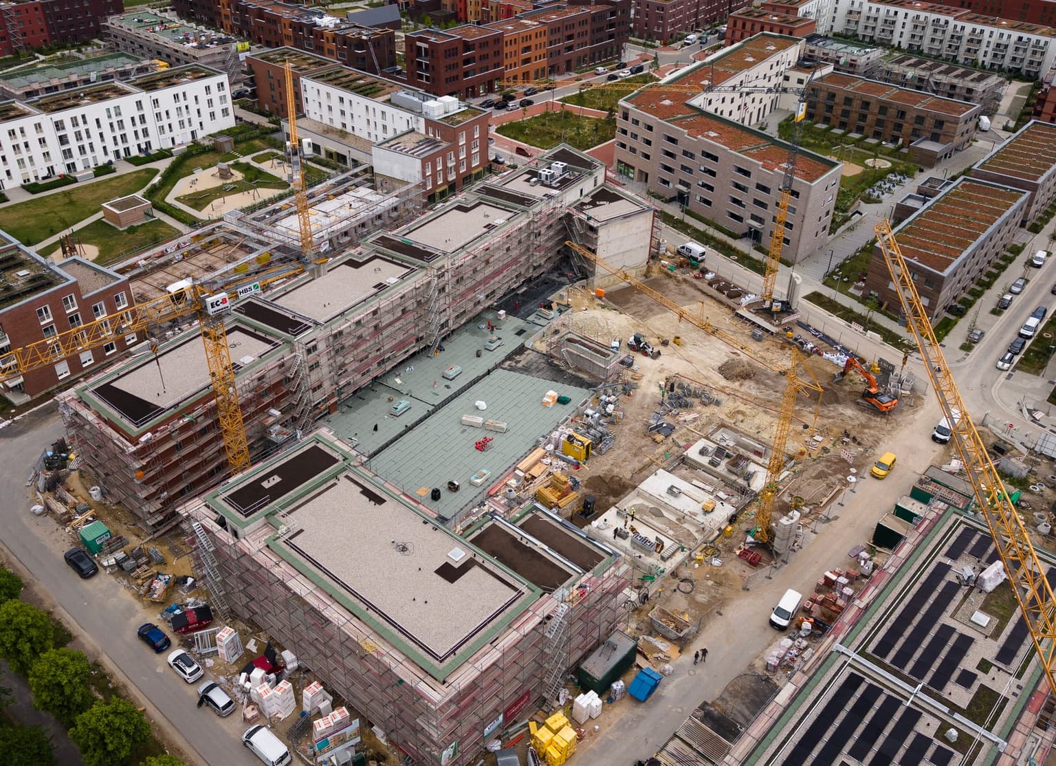
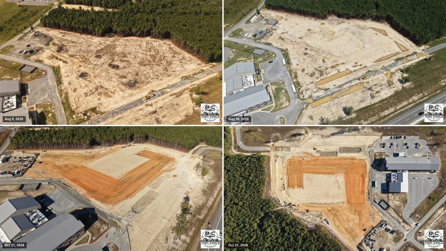
More Aerial Surveying & Mapping →A pilot flies your site on a regular schedule and captures the same viewpoints and survey grid each visit. Typical outputs are aerial photos and video, stitched orthomosaic maps, 3D models and side-by-side comparisons that show what changed since the last flight.
Most projects are flown weekly, fortnightly or monthly, depending on how fast the work moves and how often stakeholders need updates. Key milestones such as foundations, structural completion and handover are often captured with an extra flight.
Yes. Orthomosaics and point clouds can be georeferenced and overlaid on site plans, CAD drawings or BIM models, so project teams can check placement, spot deviations early and track earthworks against the design.
Contractors, developers, project managers, lenders and investors use them to verify progress, support payment claims, keep remote stakeholders informed and keep a dated visual record of the site in case of disputes.
The pilot must hold the licence or certificate required by the national aviation authority and follow local airspace rules. Many sites also need the site owner's permission, a site induction and a flight plan that keeps the drone away from workers and cranes.
Post your project for free with the site location, flight frequency and deliverables you need. Qualified pilots near the site send proposals, and you can compare their experience and equipment before you hire.