Loading results…
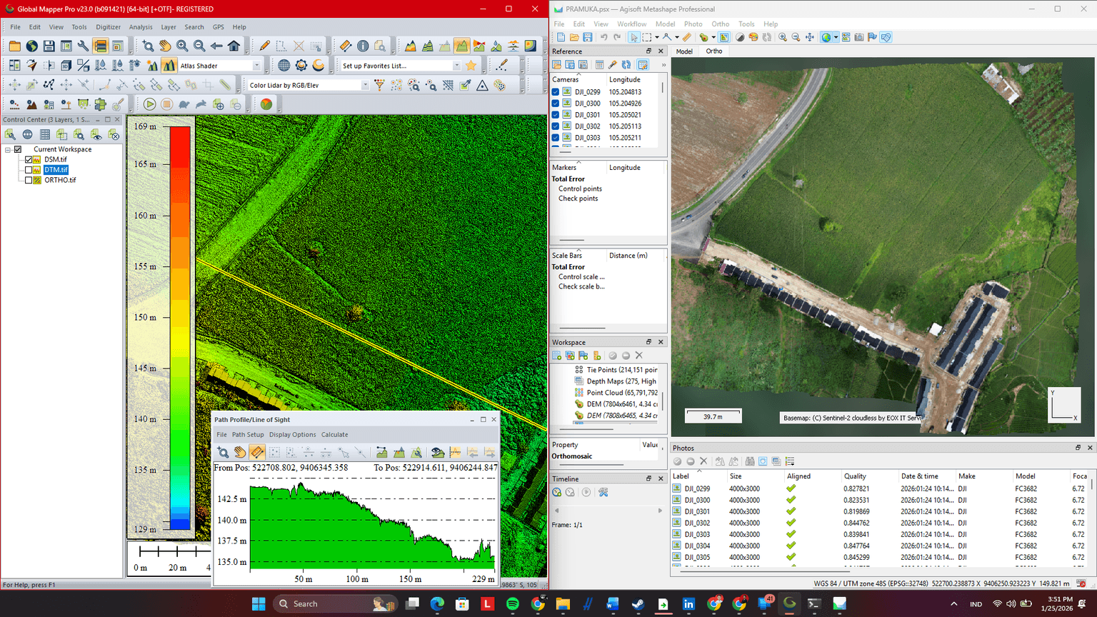
Precise land, topographic and 2D/3D survey maps.
Compare 85 live Land & Topographic Surveying listings from 76 professional drone pilots in Indonesia, Oman, Canada, Zimbabwe, Saudi Arabia, India, United Arab Emirates, South Africa, Zambia, Kenya, Pakistan, Nigeria, Senegal. Every listing publishes its rate up front, so you can budget before you make contact, and the agreed price is recorded in writing before work starts.
More Aerial Surveying & Mapping →Each pilot publishes their own rate in their own currency. Live Land & Topographic Surveying listings start from ₹ 1,500 / day in India, KSh 5,000 / project in Kenya, PKR 21,000 / day in Pakistan, ﷼ 1,368 / day in Saudi Arabia, K 4,420 / day in Zambia, Rp 2,100,000 / day in Indonesia. A listing shows whether its rate is per hour, per day or per project, and the booking dialog shows the total before you book.
76 pilots in Indonesia, Oman, Canada, Zimbabwe, Saudi Arabia, India, United Arab Emirates, South Africa, Zambia, Kenya, Pakistan, Nigeria, Senegal currently list Land & Topographic Surveying. If your location is not listed, post your project and pilots who travel can reply with a quote.
Open a listing, choose the hours or days you need and book at the listed price, or make an offer the pilot can accept or counter. Scope, dates and price go into a free service agreement before the flight.